How it Works
Partners
Pricing
Developers
Documentation
Integrations
Industries
Real Estate
Healthcare
Consumer Packaged Goods
Resources
Whitepaper
Blog
Data Partners
Videos
Tutorials
Case Studies
Contact Us
FAQ
Partner Signup
Get API Key
Get API Key
Login / Sign Up
Placekey Blog
Access Placekey's Free Datasets with placekey-py
by Placekey
Address Data Quality Issues: Best Practices for Resolution
by Placekey
LA Wildfire Relief Resources
by Placekey
What Are Address Databases and Their Importance?
by Placekey
Enhancing Hospital Data with Placekey: A Deep Dive into CMS Datasets
by
Merging LA County Active Businesses and Health Inspection Data with Placekey
by Placekey
The Hidden Technology of Plackey
by Placekey
What is Entity Resolution? Key Concepts Explained
by Placekey
Joining Boston Property Assessment and Public Works Violations Data with Placekey
by Placekey
Joining Foursquare and Overture Places Using Placekey
by Placekey
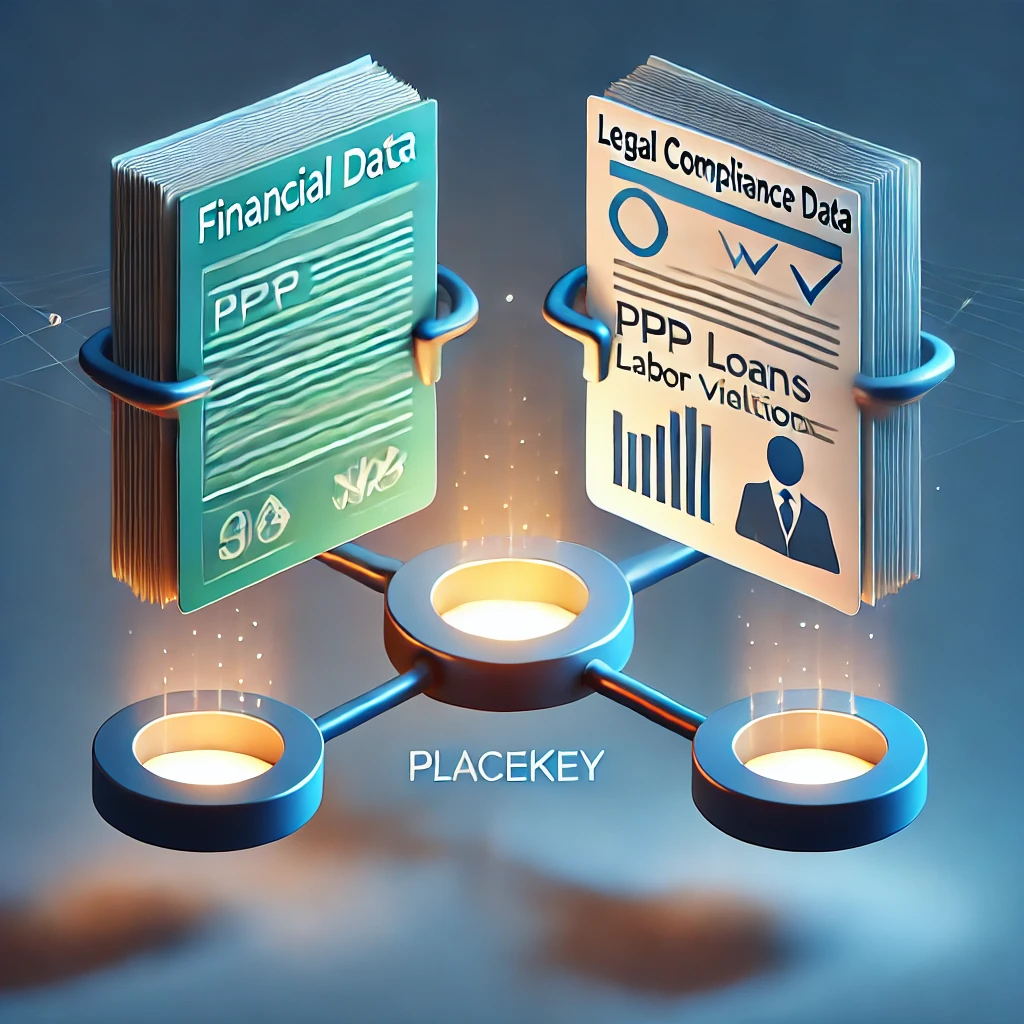
Joining Paycheck Protection Loan and Department of Labor Violation Datasets
by Placekey
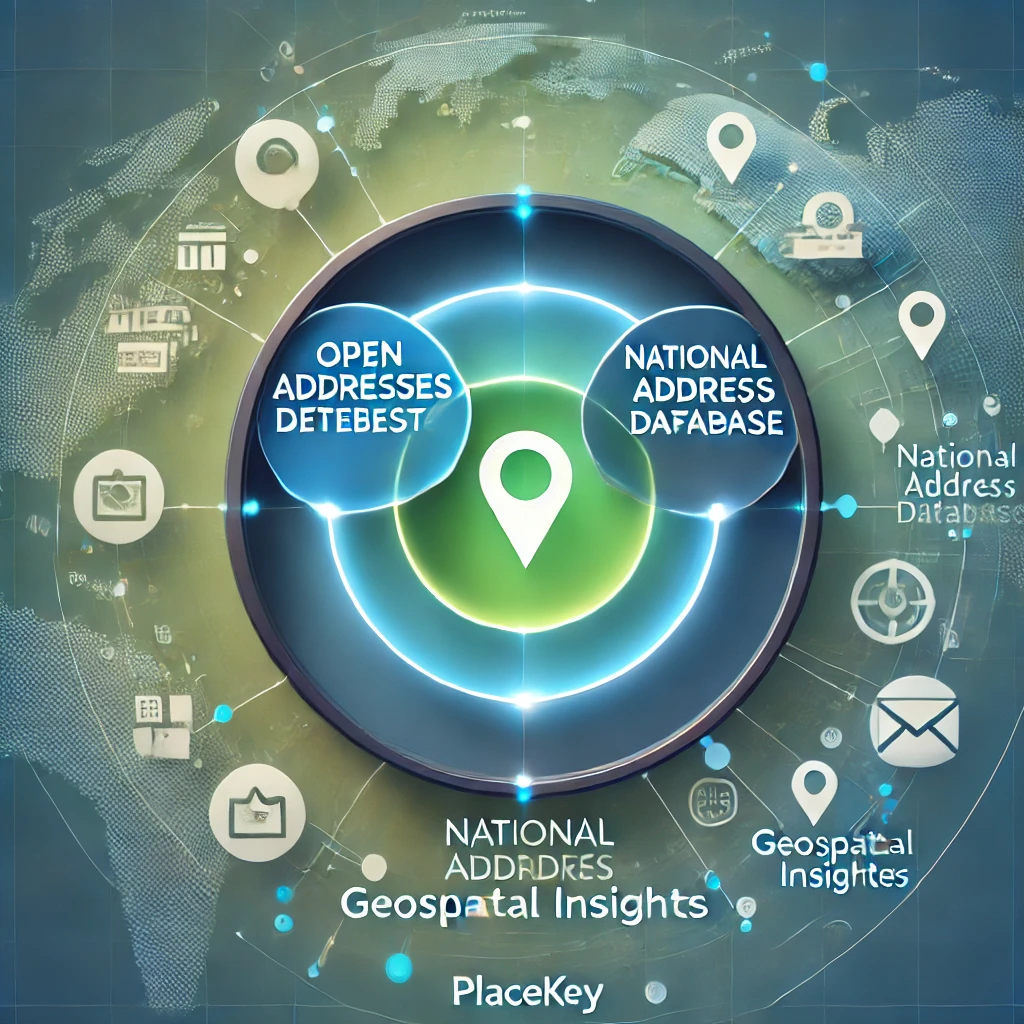
Joining OpenAddresses with the National Address Database With Placekey
by Placekey
Next
Get ready to unlock new insights on physical places
Get API Key